A perfect coastal hike: Wattamolla to Curracurrong Falls, Sydney
by ling and jace
home / back to australia
The ‘Royal National Park’ is located on the lands of the Dharawal people. We acknowledge and pay our respects to the Traditional Owners.
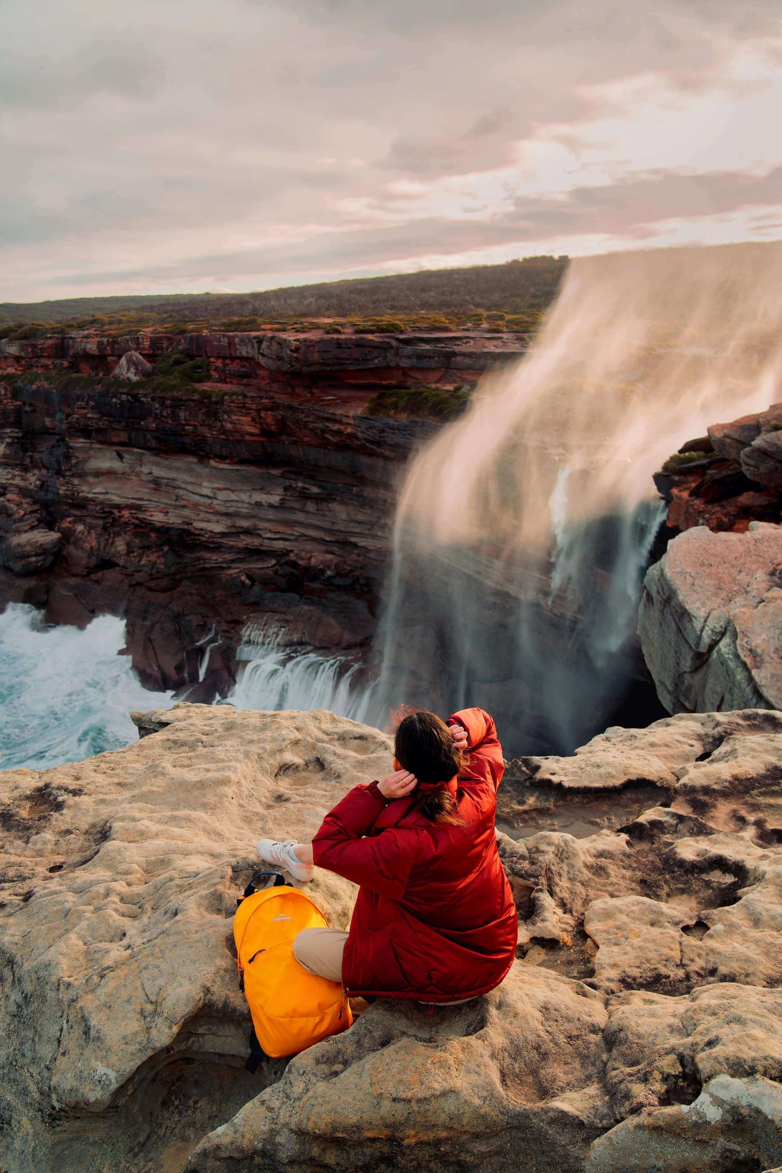
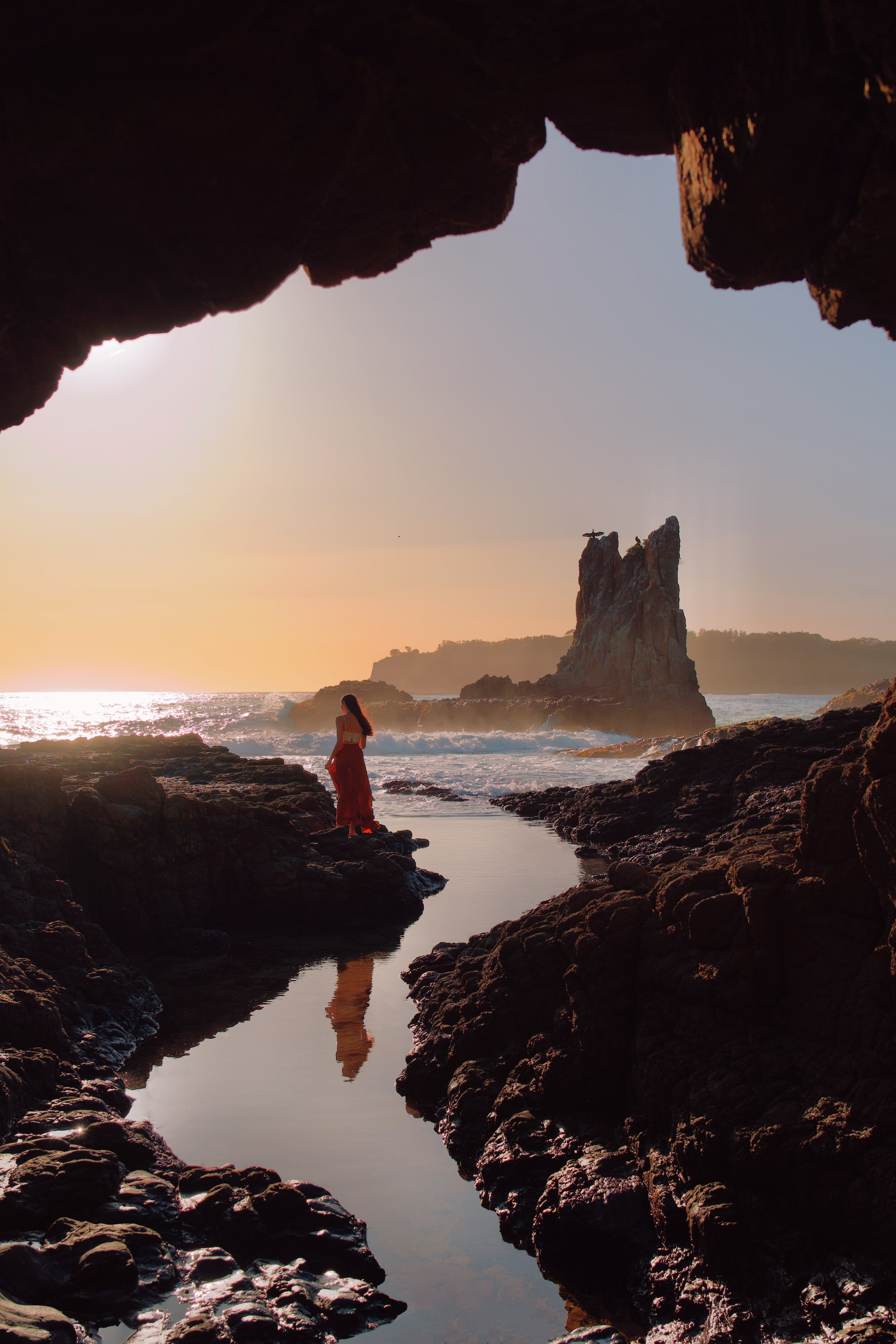
Sunset at Curracurrong Falls, Royal National Park
We always find ourselves in the same day dream of the sun, the sea, the sea. Whenever we get the chance, we head out to hike along the most spectacular coastline near home. The Royal National Park is the perfect place to explore the coast of New South Wales, with over 100km of trails.
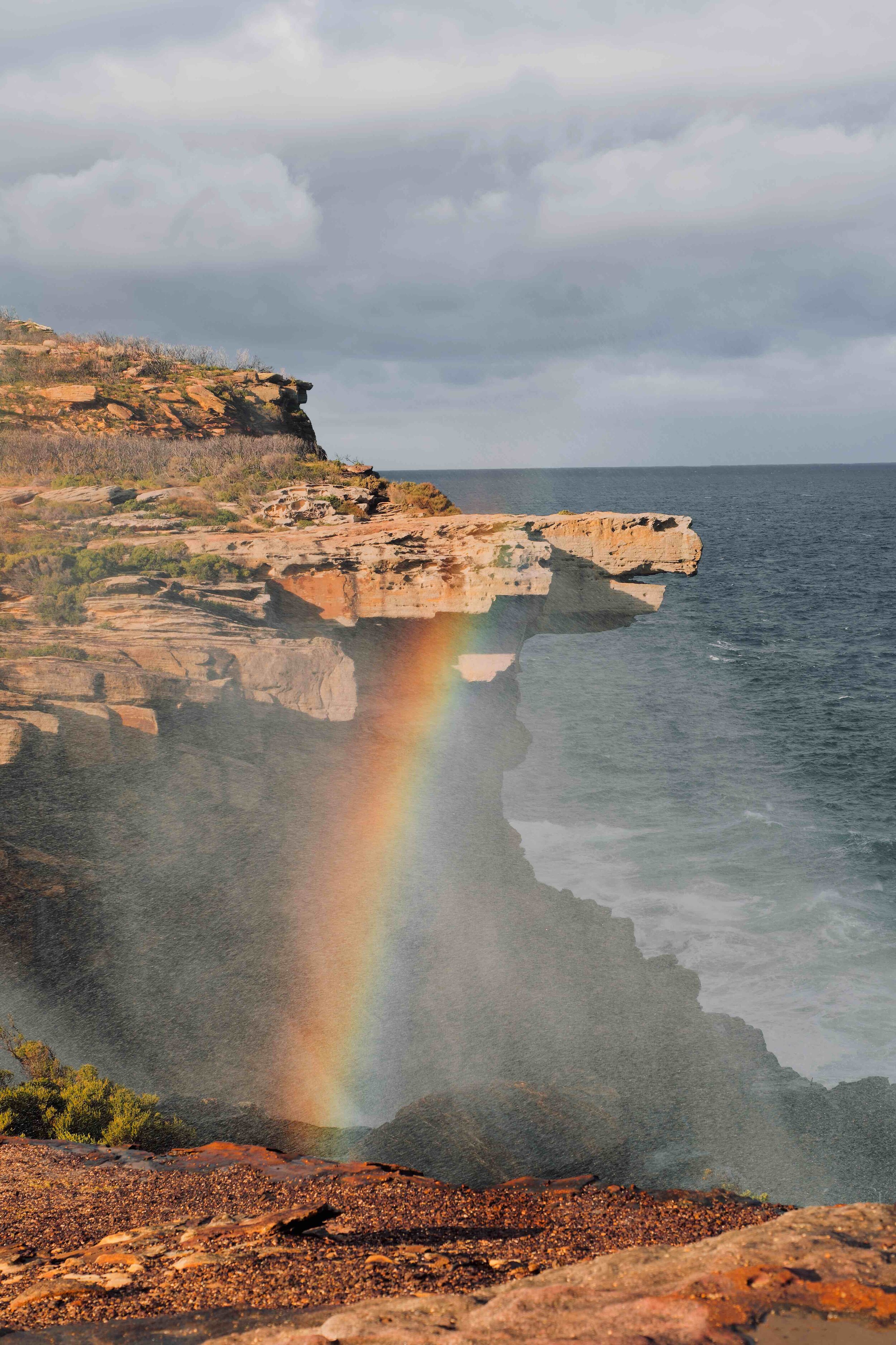
In this post, we’ve put together everything that you need to know for one of the best one-day hikes in the area, from Wattamolla Beach to Eagle Rock and Curracurrong Falls. The most incredible part of this trail is that it leads to twin waterfalls which run over the cliffs and into the ocean (apparently there are less than 40 waterfalls like this in the world).
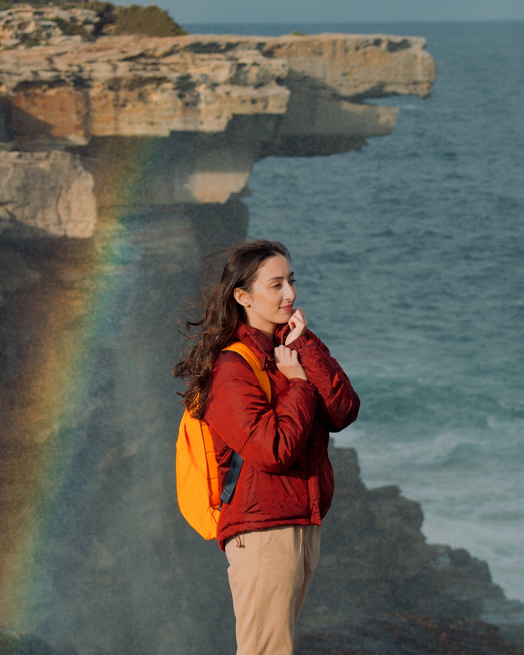
The ocean wind was wild when we got to the end of the trail on this afternoon. We watched waterfalls turn to mist before they could reach the waves, casting new clouds against the sunset.
Full view of Curracurrong Falls, Royal National Park
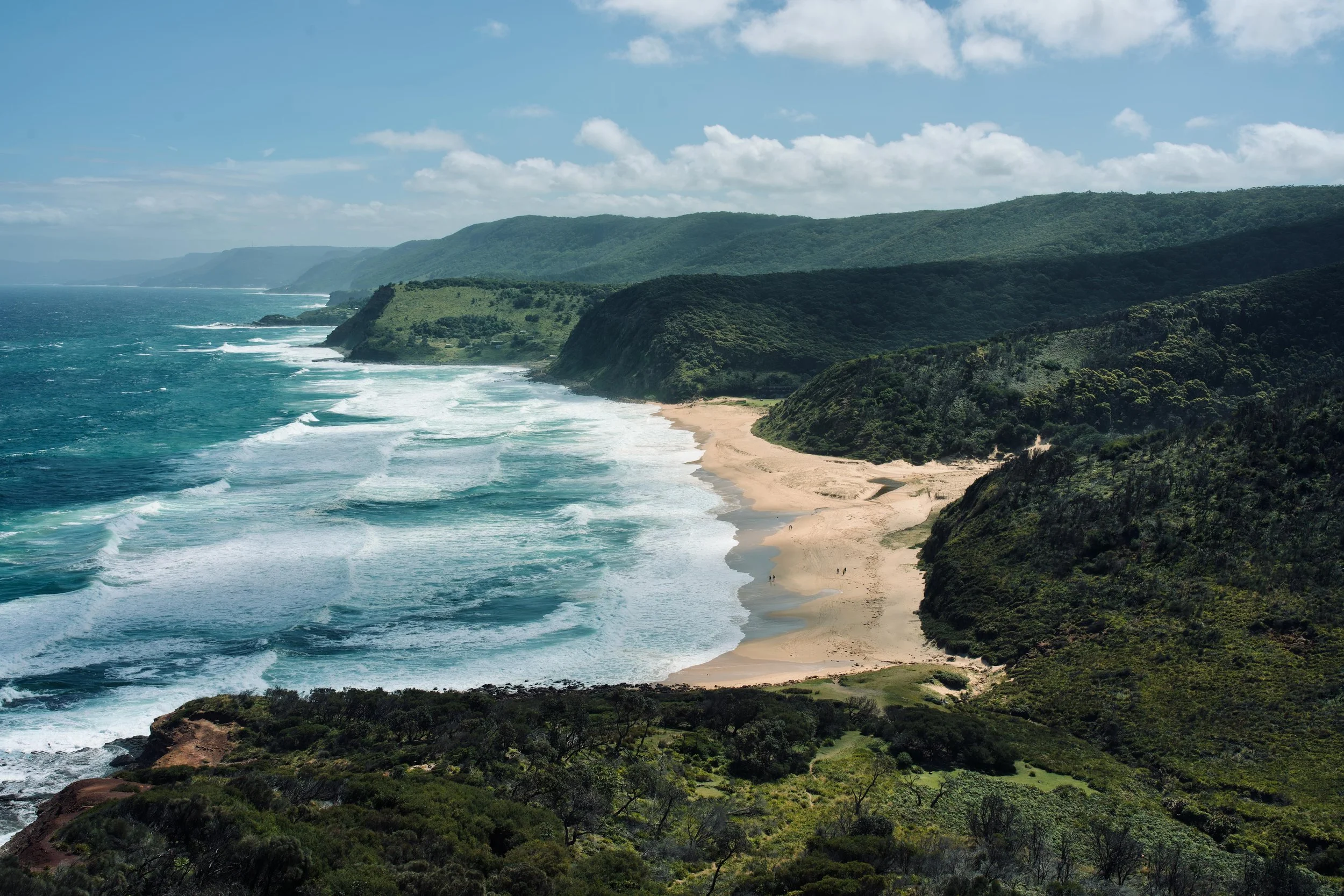
Garie Beach shot from the Royal National Park Coast Track
HOW TO GET TO CURRACURRONG FALLS
Eagle Rock and Curracurrong Falls are located within the Royal National Park, which is around 40 minutes’ drive from the centre of Sydney. The area is filled with incredible landscapes. Eagle Rock and Curracurrong Falls are found along the Coast Track—an epic 26km one-way, multi-day hike, with designated campgrounds inside the Royal National Park.
If you’re travelling to Sydney and want to organise a tour to get around, we’d recommend this private trip to the Royal National Park which gives the most flexibility over the hike. On this one-day trip, you can choose which hike to do in the national park, and will have everything you need to get to Eagle Rock and Curracurrong Falls.
These destinations can also be reached by driving from Sydney. The park has an entrance fee of $12 per vehicle per day which can be paid at ticket booths at the entrance. Once inside the national park, there are three trails that we’d recommend taking to get there:
Coast Track from Wattamolla Beach
Coast Track from Garie beach
The Curra Moors Trail
WATTAMOLLA BEACH COAST TRACK
Distance: 8km return
Time: allow 3.5 hours return
The most scenic and popular route to Eagle Rock and Curracurrong Falls is along a 4km section (one-way) of the Royal National Park’s Coast Track. It starts at Wattamolla Beach, with a clear trail going from the Wattamolla carpark.
The carpark at Wattamolla Beach can fill up fast on sunny weekends and public holidays. When it does, the Royal National Park will close the access road to the beach and Coast Track trail. It pays to get there early (before 11am) and to monitor the Royal National Park’s Twitter account for notifications of when the carpark is full and the road is closed.
The Wattamolla Beach to Curracurrong Falls walk is a relatively easy 4km section of the Coast Track. It has been recently developed so that it’s essentially one long coastal boardwalk.
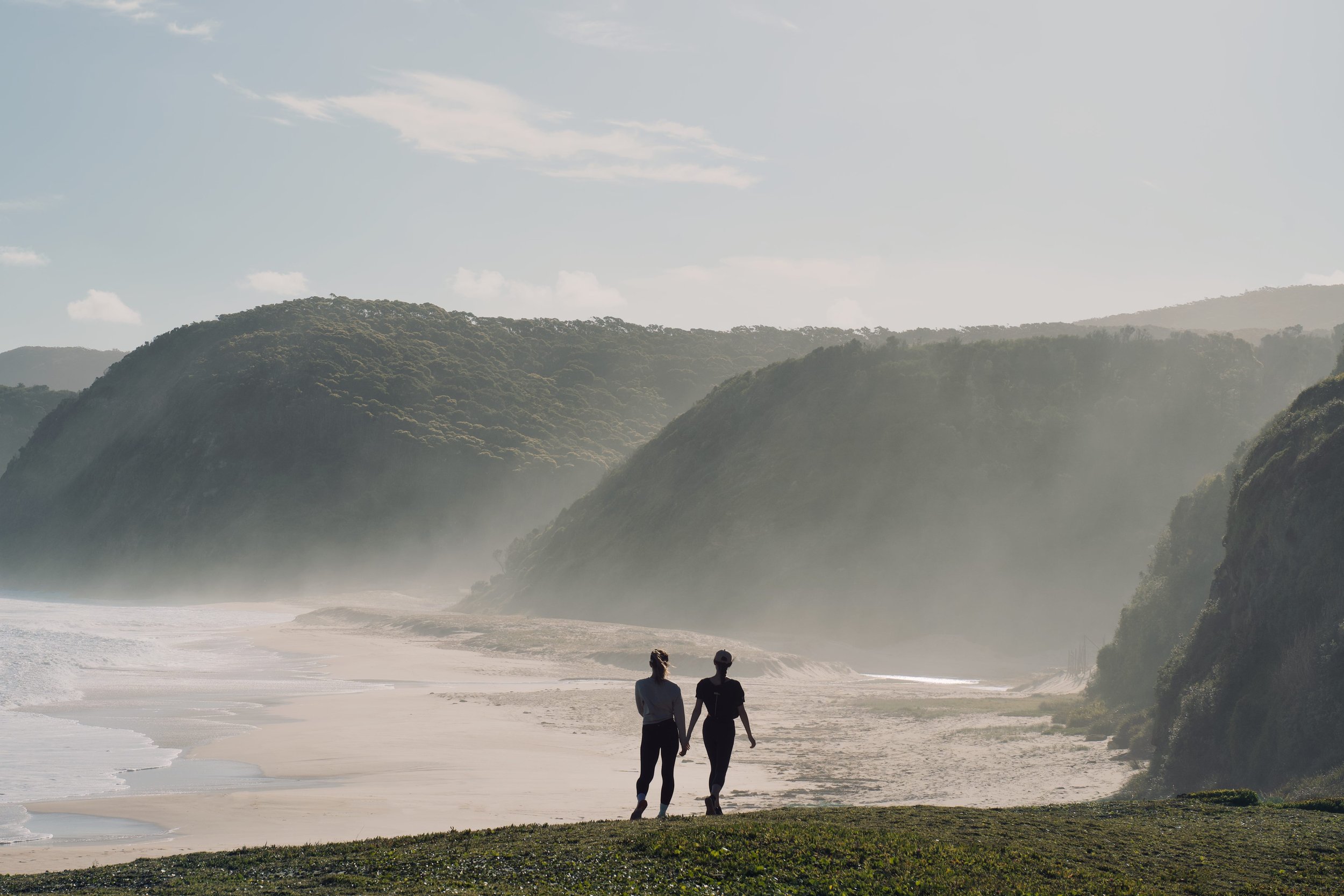
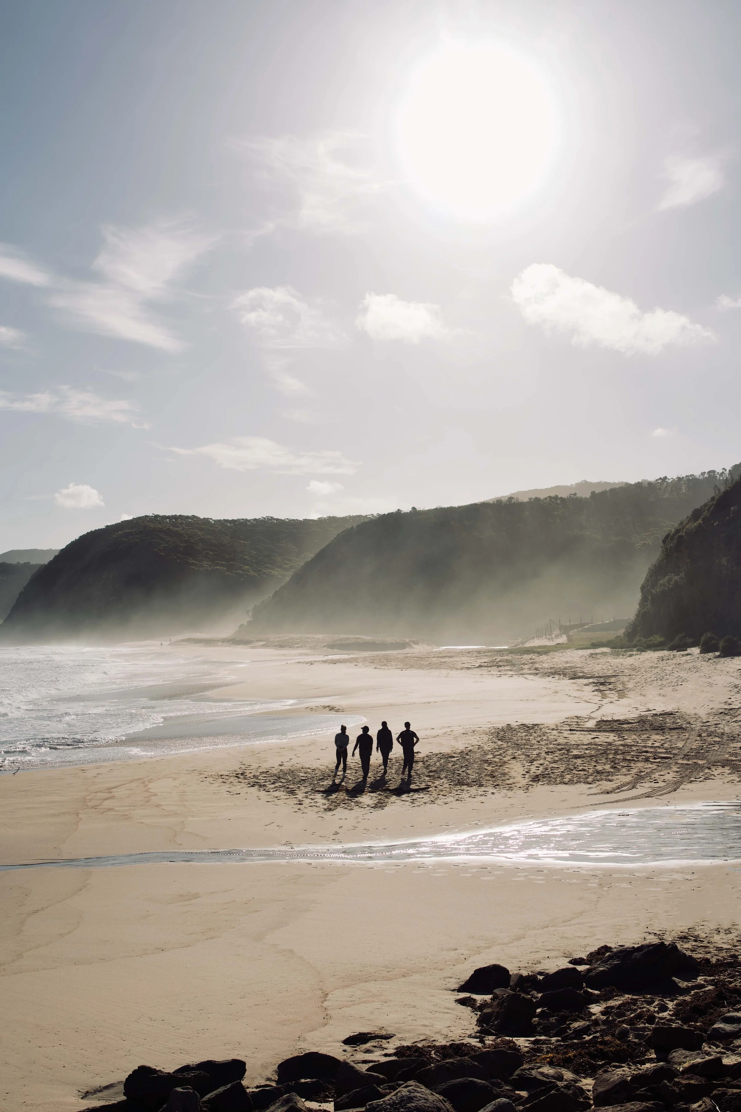
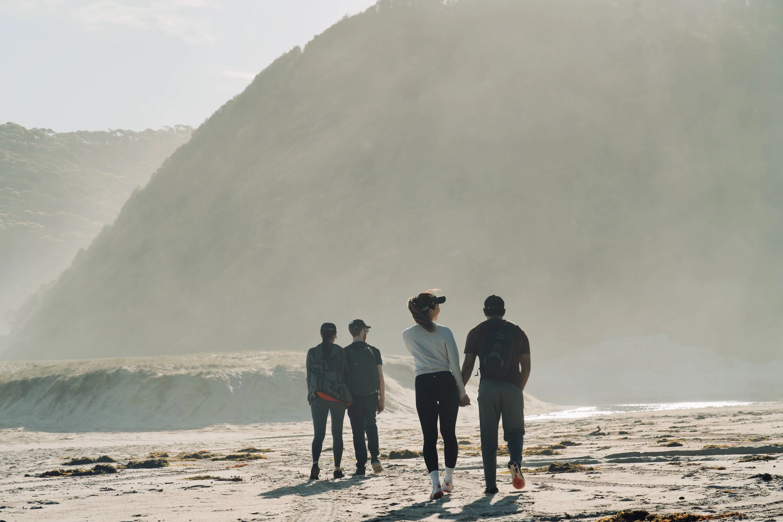
Sunrise on the Coast Track, Wattamolla
Sunrise on the Coast Track, Wattamolla
GARIE BEACH COAST TRACK
Distance: 7.7 km return
Time: allow 3-4 hours return
Grade: 4
The coast track continues for many kilometres throughout the Royal National Park, and there is another section which is perfect for walking to Eagle Rock and Curracurrong Falls. To get to the start of the trail, park at Garie Beach carpark. It’s then a walk across the sand and a bit of steep climb up onto the headline, before the trail joins up with the coast track board walk.
MAP HERE
On your drive back, we’d recommend stopping at Governor Game Lookout for a wide ocean view, which is especially beautiful at sunset or for stargazing.
Sunset at Garie Beach after hiking from Eagle Rock and Curracurrong Falls
The Coast Track, Royal National Park
Sunset at Garie Beach, Royal National Park
Garie Beach, shot from the Coast Track
THE CURRA MOORS TRAIL
Distance: 6km return
Time: allow 3 hours return
If the road to Wattamolla beach is closed when you arrive, it’s only 5 minutes’ drive to the start of the Curra Moors Trail. This is an alternative path that you can take to get to Eagle Rock and Curracurrong Falls.
If you are facing Sir Bertram Stevens Drive from Wattamolla Road, it’s a left turn onto Sir Bertram Stevens Drive, then follow the road straight for 5 minutes. On the left hand side of the road, there is a small carpark next to a sign for the Curra Moors Trail. This carpark only has a few spaces, but you can also pull up safely and park nearby on the side of the road.
MAP HERE
This trail is an easy walk, but can be muddy after the rain.
It’s a fairly straightforward route. Along the way you’ll reach two Y-intersections:
At the first one (about 1.5km in), continue straight as shown in this map (do not take the right turn here); and
At the second one (another 1.5km later), again continue straight as shown in this map (this time keeping right, rather than taking the left path).
When you reach the ocean at the end of the trail, Eagle Rock and Curracurrong Falls are on the left, just a short way down the boardwalk.
Sunset over the Curra Moors Trail
Sunset from Governor Game Lookout
WHERE TO FIND THE BEST VIEW OF CURRACURRONG FALLS
The falls are visible from the coast edge on either side. However, the best view of Curracurrong Falls is definitely from Eagle Rock itself.
To get there, follow the path around towards Eagle Rock and there will be clear but unmarked trail (the grey line in this map) stemming from the main board walk.
Last light at Curracurrong Falls, Royal National Park
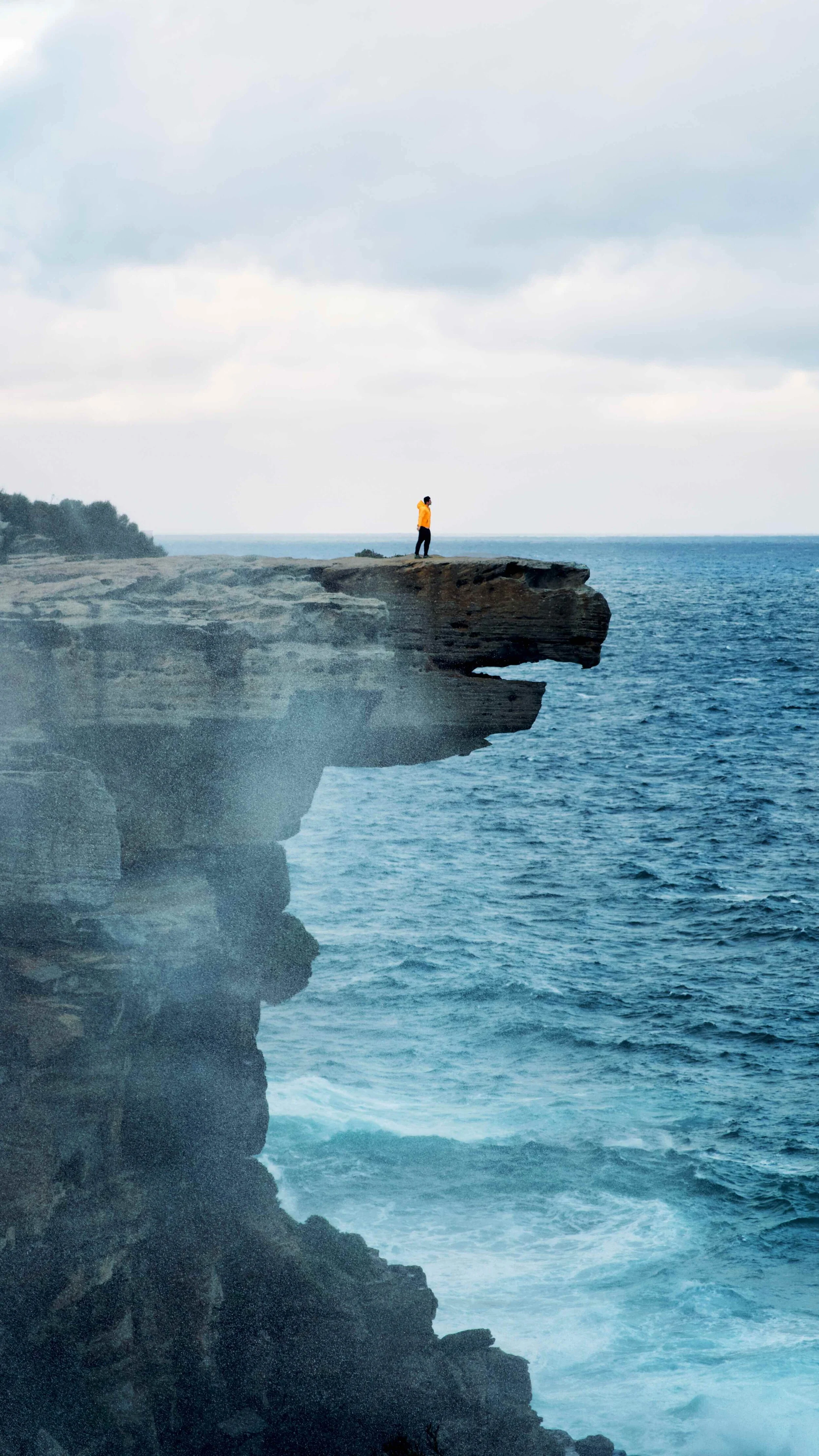
WHERE TO FIND THE BEST VIEW OF EAGLE ROCK
If you have reached Curracurrong Falls from Wattamolla Beach, continue a bit further down the coast track until you are above the falls themselves. It’s usually a wet and windy area as the waterfalls are being blown back against the rock, but from here you’ll get the best vantage point for a profile view of Eagle Rock.
Eagle Rock, Royal National Park
RECENT POSTS
PIN IT
Find us on Instagram


